Coming Soon
We are currently writing and researching a series of new works for future publication. Keep your eyes peeled for updates.
Beyond Defence
Beyond Defence is a long-form research series exploring the Black Ditches at Risby and Cavenham in Suffolk, and the wider landscape of linear earthworks that stretch across East Anglia.
The Black Ditches are the most easterly of five substantial dykes and ditches, and are believed to have extended for up to 4.5 miles. Despite their scale, their origin, date and purpose remain uncertain. They have traditionally been interpreted as late 6th-century defensive earthworks, constructed to protect the ancient Icknield Way from invasion, while earlier antiquarians even suggested they were Roman sewers.
Beyond Defence begins with a different question. Rather than assuming these monuments were primarily militarian in function, we explore both historic and emerging research that suggests they may be considerably older, potentially dating to the early Iron Age and rooted within the culture of ritual landscapes. Along their courses are sacred springs, burial mounds, temples, ancient woodland and heathland, and places where votive offerings were made, hinting at landscapes of movement, ceremony and belief as much as defence.
This research is now well underway and the Preface and Introduction are available to read, with other sections published on a rolling basis over the next 18 months.
Staverton – Part 2: Landscapes & Skyscapes
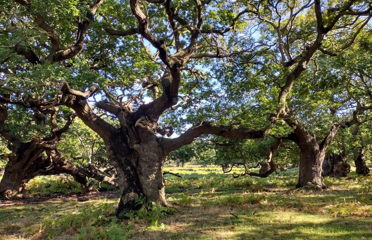
This work will thoroughly explore how three distinct and ancient landscapes from the late antique – early medieval period fit within the wider ritual landscape and are all integrated within a designed landscape that is oriented around primary and mythological celestial events. We will be looking at Rendlesham, a wholly unique site and the richest longest lived settlement in England of the period. Staverton, one of the most important surviving areas of woodland pasture in England and home to a mysterious earthwork of questionable origin. And Burrow Hill, an island minster site containing pseudo boat burials.
Hidden Histories
We are currently adding the finishing touches to the next instalment in our Hidden Histories series, showcasing the best of the hidden historical wonders that lay silent in the East Anglian landscape. This next set will focus primarily on a selection of lesser known sites in West Suffolk and just across the border into South Cambridgshire.
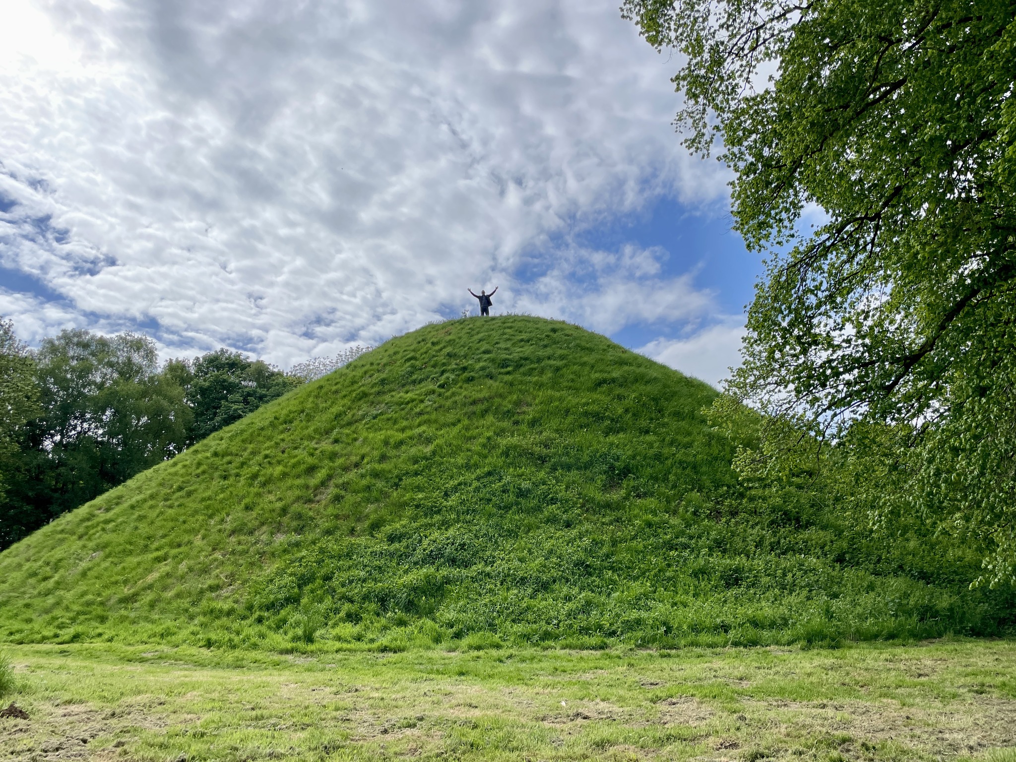
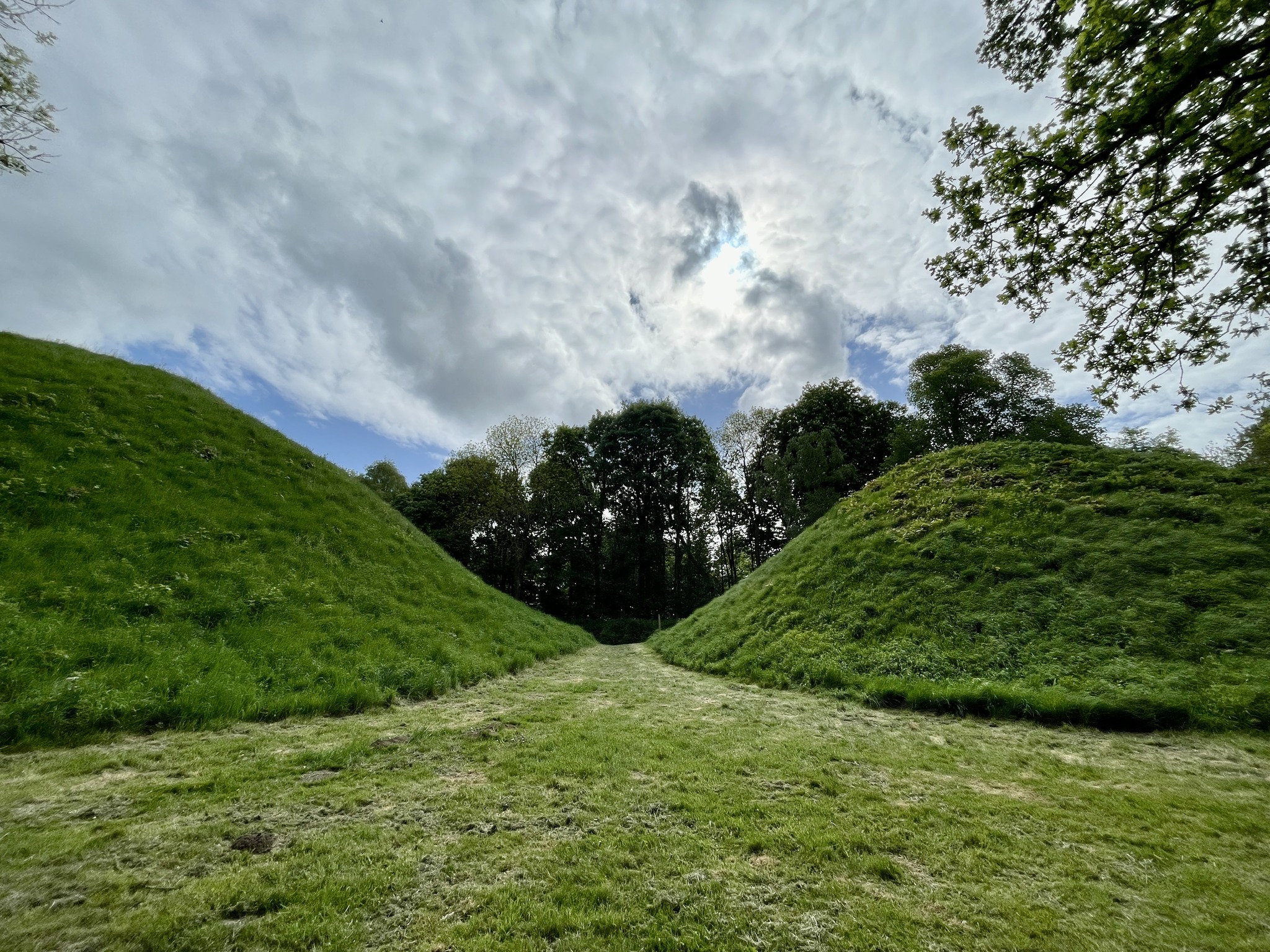
To whet your appetite we’ll first turn to the monumental Bartlow Hills, once Europe’s largest group of burial mounds before they were separated in 1864, and today they are still the tallest Roman barrows in Britain. Located in South Cambridgeshire and 7 miles west of Haverhill on the Suffolk border, the group of now 6 barrows includes 4 vast and steep conical mounds standing between 45–50 feet (15 meters) high. They are only surpassed by Wiltshire’s Silbury Hill and the Marlborough Mound. Roman barrows are nationally rare, with fewer than 150 recorded examples and were generally constructed in the early 2nd century A.D. Excavations between 1832–1840 revealed walled graves containing artefacts like glass, bronze vessels, pottery, enamel, and an iron folding chair, many of which were lost in a fire at Easton Lodge in 1847 with the later railway work uncovering 15 skeletons and coins. Our investigation will explore Bartlow’s surrounding ritual landscape, to better understand their place in history and to explore why they were built here.
The Picts: Symbols in stone
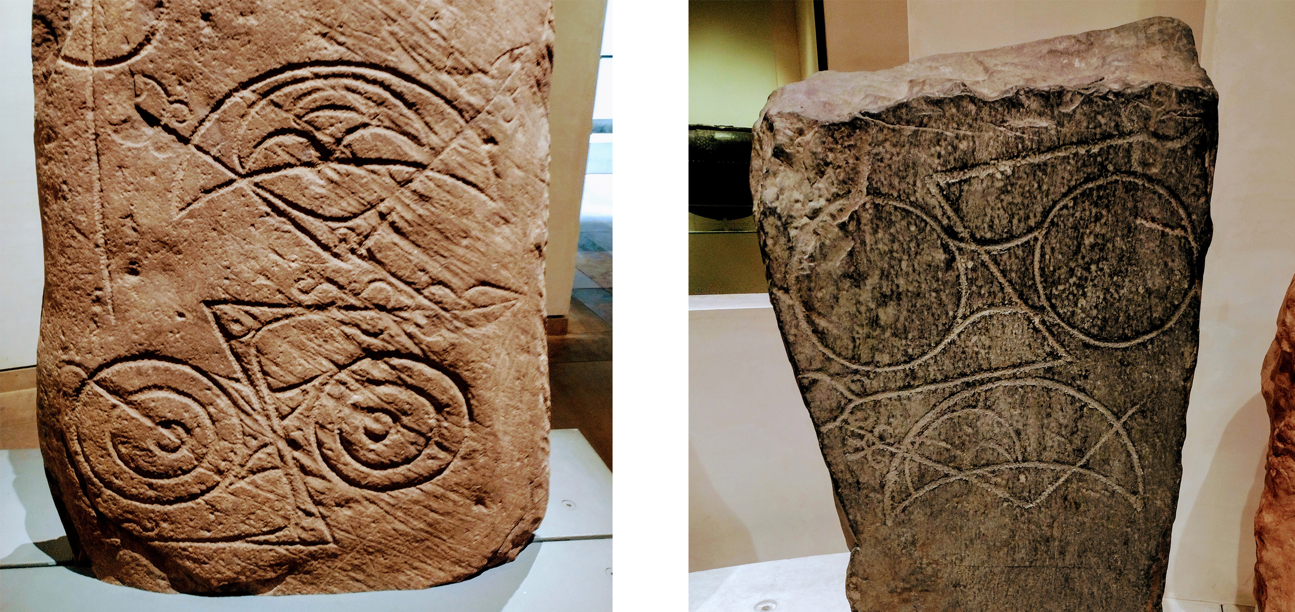
Ever since visiting the National Museum of Scotland where we were captivated by the enigmatic symbolism of Pictish stonework, the mystery of these carvings has stayed with us. The Picts, a term generally applied to the peoples living north of the Forth-Clyde line from around 300 to 843 AD, left behind some 350 carved stones. These range from a 12cm fragment of a face, to towering monoliths over 21 feet tall and weighing 7.5 tonnes.
We have already briefly explored the Bullion Stone, a fantastic, mysterious figurative Pictish work (as celebrated in our ‘Friday Feeling‘ t-shirt), however it is the abstract and sometimes almost alchemical symbols that continue to intrigue us.
Interpretations vary widely: some see religious or mythological meaning, others funerary or commemorative intent, heraldic or genealogical codes, territorial markers, or even a form of proto-writing. Christian syncretism has also been proposed, blending indigenous with Christian motifs.
More speculative interpretations suggest these symbols may be landscape cosmograms, schematic maps of spiritually significant places, aligned with natural features and embedded in ritual geography. Did they maybe mark liminal thresholds, be these water sources, burial grounds, or ritual nodes mediating between human and supernatural realms? Some scholars link them to ancestral memory and mythic geography, echoing broader insular traditions where landscape and identity are deeply entwined. Others explore astronomical alignments, proposing solstitial or equinoctial orientations that hint at calendrical or cosmological functions.
Whatever their purpose, these carved stones remain among the most evocative and debated artefacts of early medieval Britain. Their silence invites us to review our understandings and interpretations as we look upon new perspectives. We remain quietly haunted by their presence, and ever drawn to the questions they refuse to answer.