Beyond Defence
The enigma of Suffolk’s Black Ditches
Jeremy Taylor
Preface
While researching the oldest tree‑trunk coffin burial in Britain (2300–2130 BC), discovered on Risby Poor’s Heath in Suffolk as part of our Hidden Histories series, we noticed the Black Ditches simply marked as a double dotted line on Ordnance Survey Pathfinder map number 983. They were shown running north–south, approximately 7 centimetres away, (1.75 kilometres) due west of the barrow on the map where the tree‑trunk coffin was located. Curious, and with little understanding at this stage of what the Black Ditches represented, we decided to investigate further.
Within a few days, it became clear that this apparently straightforward question opened into a far more complex archaeological debate than initially anticipated. Not only is there significant disagreement concerning the date of what turned out to be a linear earthwork, but their purpose and function remain equally contested within the literature.
Some scholars have interpreted the Black Ditches as Roman features, possibly even components of a sewerage system, or as constructions intended to regulate livestock movement or demarcate territorial boundaries. Others have argued for a late 6th century origin, viewing them as defensive earthworks, one of a series of five such dykes and ditches extending eastwards across Suffolk and Cambridgeshire, designed to counter external threats and protect the ancient Icknield Way, a major communication and transport route of the period. By contrast, an alternative view proposes that they may be considerably older, with some suggesting an Iron Age origin, broadly dated to 800 BC–43 AD. Increasingly, the long‑standing tendency to interpret such linear earthworks in primarily military terms has been challenged. Emerging research instead situates these monuments within a much earlier and more complex ritualised landscape, in which their function was unlikely to be defensive. Rather, these features appear to have structured movement, guiding processional routes and ceremonial practices embedded within a landscape framed by cosmological significance.
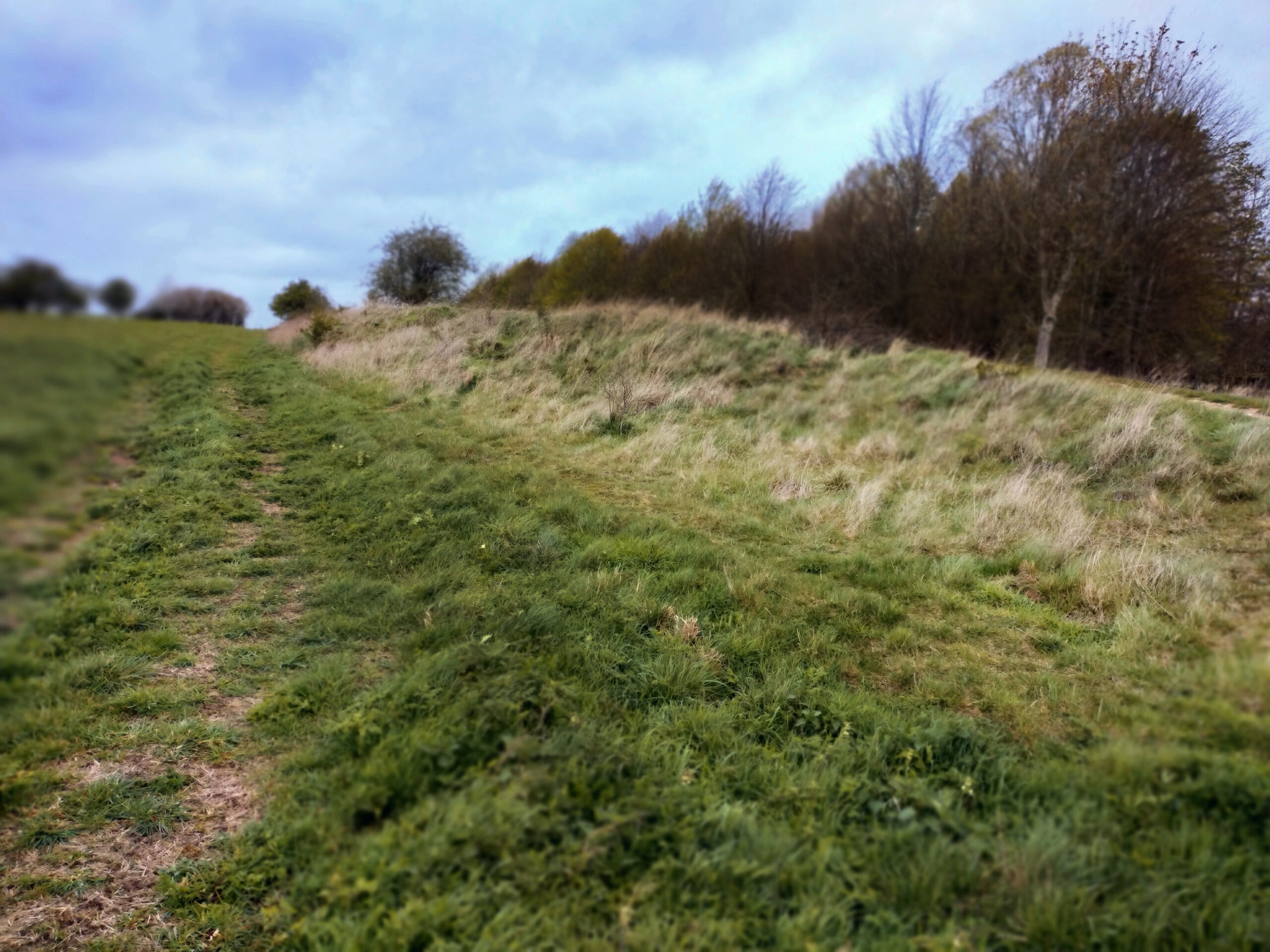
Their placement suggests deliberate engagement with topography, particularly a close visual relationship and proximity with waterways and other natural features, indicating that these earthworks formed part of a broader landscape imbued with symbolic resonance rather than instruments of martial control. Moreover, the short dotted black line on our map, measuring 1,750 metres north–south, may actually represent only a small surviving fragment of a much greater feature that extended up to 7.24 km in length, as the Black Ditches also appear further north on another one of our Ordnance Survey Pathfinder maps, number 962.
What began as a simple cartographic curiosity has since developed into a sustained programme of research. Jeremy Taylor is now drawing together the results of this two‑year investigation into the only linear earthwork in his home county of Suffolk, and this series sets out the questions, contexts, and interpretative challenges that have shaped the journey.
Section 1 is available to read now, see link below.
Across ten interrelated sections, we explore:
- Introduction to the Black Ditches, linear earthworks and other Iron Age monuments
- Landscape setting and topography, considering neighbouring sites and the morphological similarities and differences among locally placed linear features
- Other linear Iron Age features, in Suffolk and beyond
- Interpretative theories and models
- Life, death and funerary practices within a surveyed landscape
- A concise review of Late Iron Age East Anglia, focusing on the people who may have created the Black Ditches
- Cosmology: Spatially ordained space, deities and ritual, archaeoastronomy examples.
- The Milky Way
- The Icknield Way reconsidered
- Exploring Hearse Wood and the double‑ditched enclosure BRR 008, tracing the southern end of the Black Ditches