Long Grove, Hawk’s Leys
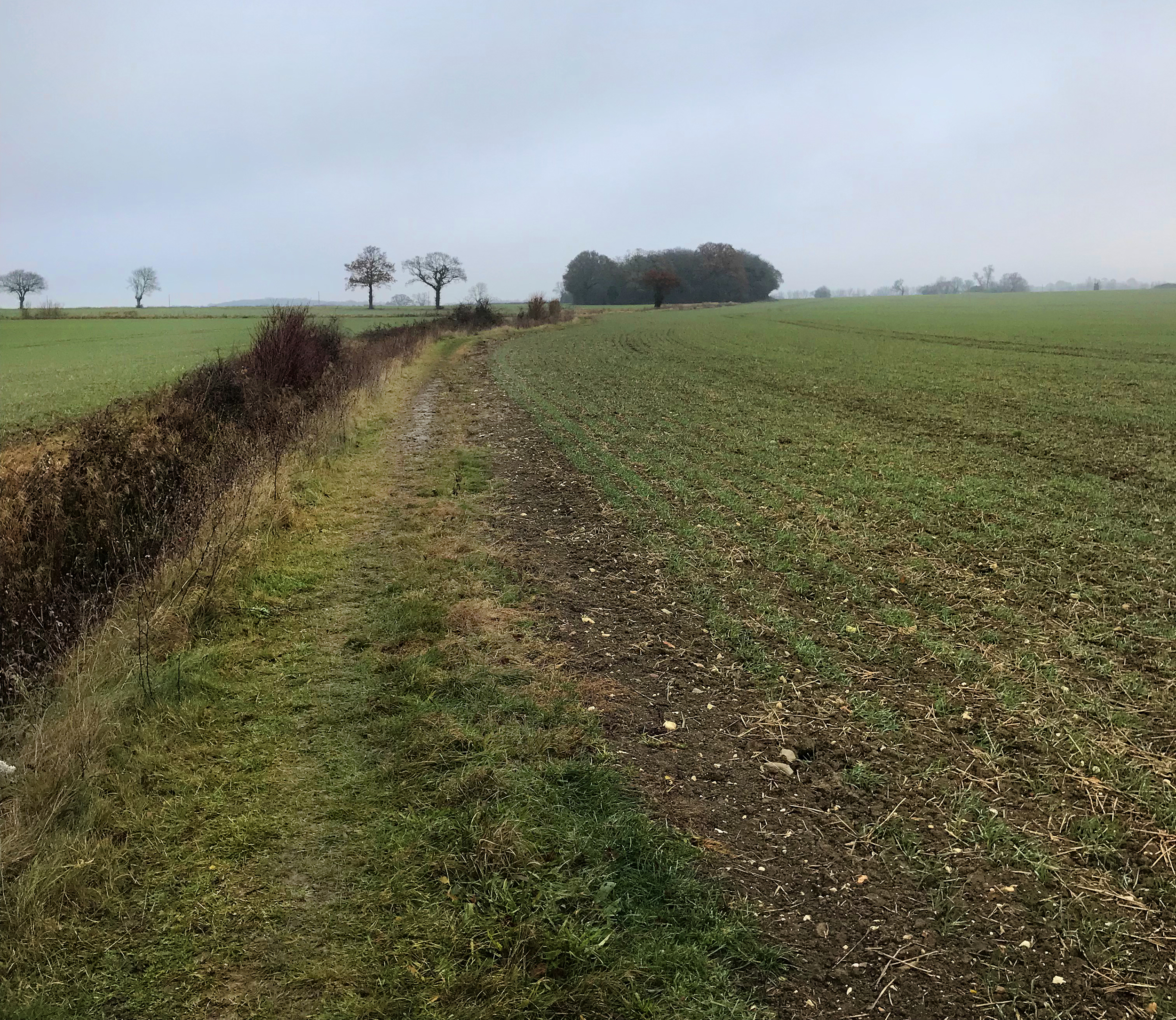
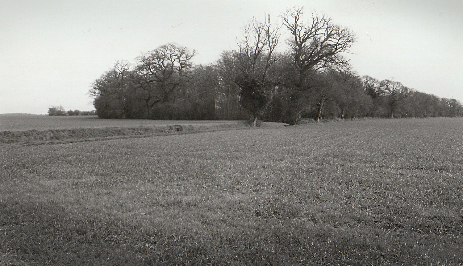
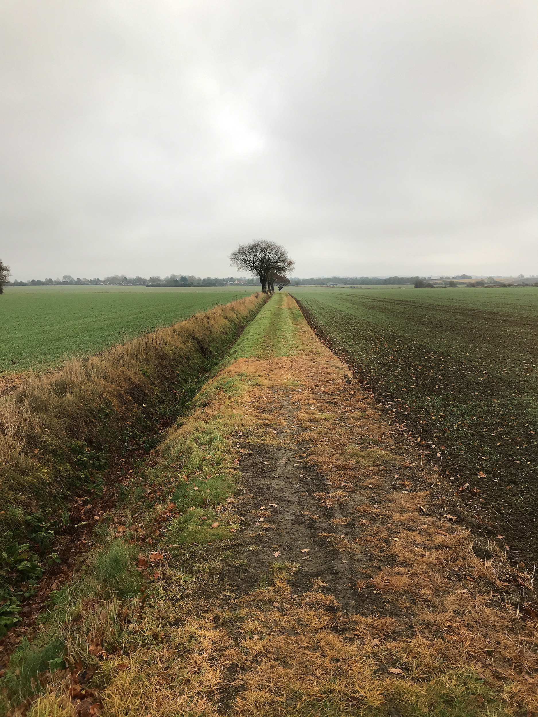
An ancient woodland called Long Grove at Hawk’s farm sits just outside the village of Rede. The name Rede itself may derive from ‘rode’, the old geomantic unit of measure discovered by Dr. Heinsch in 1975 [1]. Rede is the highest village in the whole of Suffolk, with Long Grove approximately a mile away from Great Wood Hill, the highest point in the county, both of which fall on the Newmarket Ridge. This elevation may also have aided the creation and associated surveying activities required of the terrestrial zodiac (for more information, see ‘Seven Wonders’), centring on this point. The landscape effigies, constellations in and around Bury St. Edmunds fit roughly within two interlocking circles that form a vesica piscis, the centre of which falls on Long Grove [2].

Trees and woodlands have been used as sighting marks for millennium, attracting such names as ‘folly’ or ‘the clump’ – meaning a ‘clump of fir trees on the crest of a hill’. Just to the east of Hawk’s Leys we find Clump Grove, it’s presence on the high ground important as an indicator to this ancient site.
Long Grove is just one in a number of ancient Woodlands situated in the parishes of Brockley and Rede, and despite its small size (2.4 ha) supports a diverse array of ground flora, including a number of quite rare species (ancient woodland indicators) such as Wood Millet, Pendulous Sedge and Wood Anemone [3]. These special sacred woodlands would have carried a heightened significance for generations, both spiritual and practical.

Toulson [4] reports that Long Grove at Hawk’s Leys farm, presently a ‘V’ shaped area, was once itself called ‘Hawk’s Leys’ and was also originally triangular in formation. Reminiscent of a ‘wedge’ or an arrowhead, this ‘V’ shape in Peruvian legends represented the navel of the world, the centre – the Hub of the Universe and it is no surprise therefore that this symbol is referenced at the centre of the Bury zodiac. Small woodlands with names associated with ‘Ley’ or ‘Lee’ mark the centre of other terrestrial zodiacs across Britain and seem to have been a common feature for our ancestral landscape planners, such as Cross Ley Wood at the centre of the Nuthampstead zodiac, with Cross Lees being near the centre at Ongar.

Hawks, a renowned solar symbol means sacred or holy – the Great Light Father, were kept in the Sun-god’s temple by the Egyptians. Their god Horus was regarded as the ‘Hawk of Gold’ and was said mystically to mirror the contents, stars, comets, sun and moon of night sky [5].
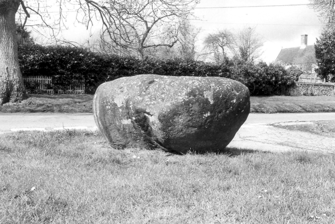
It has been suggested that the large ovoid granite boulder which now sits on the green at Hartest once marked the centre of the terrestrial zodiac, sitting majestically in the centre of the woodland at Hawk’s Leys [6].
The close relation and proximity of such a large and rare roughly cubic stone megalith (presently worn to 4 x 4 x 3 feet), so close to the zodiac’s centre affords a more symbolic and evocative explanation than the standard one, that it was dragged to it’s current position downstream in 1713 to celebrate the peace of Utrecht in the war of the Spanish succession [7].

References
1. Heinsch, J. (1975) (trans. M. Behrend) Principles of Prehistoric Sacred Geography, Zodiac House.
2. Behrend, M. (1975) The Landscape Geometry of Southern Britain, The Institute of Geomantic Research – Occassional paper 1, Bar Hill.
3. County Wildlife Sites Record and Source/Archive record SSF11661 – Suffolk Inventory of Ancient Woodland – Monument record BKY 011 – Long Grove.
4. Toulson, S. (1979) East Anglia: Walking the Ley Lines and Ancient Tracks, London, Wildwood House.
5. Bailey, H. (1912) The Lost Language of Symbolism, Earnest Benn Ltd, London.
6. Toulson, S. (1979) Ibid.
7. The East Anglian (August 1866-October 1868) from an anonymous source, ‘C.D.’
