The Lost Features of the Leiston Landscape
The references to Leiston Harrow, the Procession Rayles and Leiston Gallows all appear in a survey conducted on the 24th April 1620 when a perambulation of the boundary of the manor was conducted by a court under the supervision of the Right Noble George, Marquis of Bucks. Thirty six members of the jury conducted the survey and a description of the route was documented, later to be published in Rev Alfred Sucklings 1848 publication entitled ‘The History and Antiquities of the County of Suffolk, Volume II’ [1].
Although many of the landmarks and the named references have long since disappeared from both the landscape and local knowledge, there is nonetheless enough information to establish that the boundary was pretty much the same as the parish boundary recorded on the 19th century OS maps [2]. We can therefore use the early OS maps as a guide to establish where these landmarks were located.

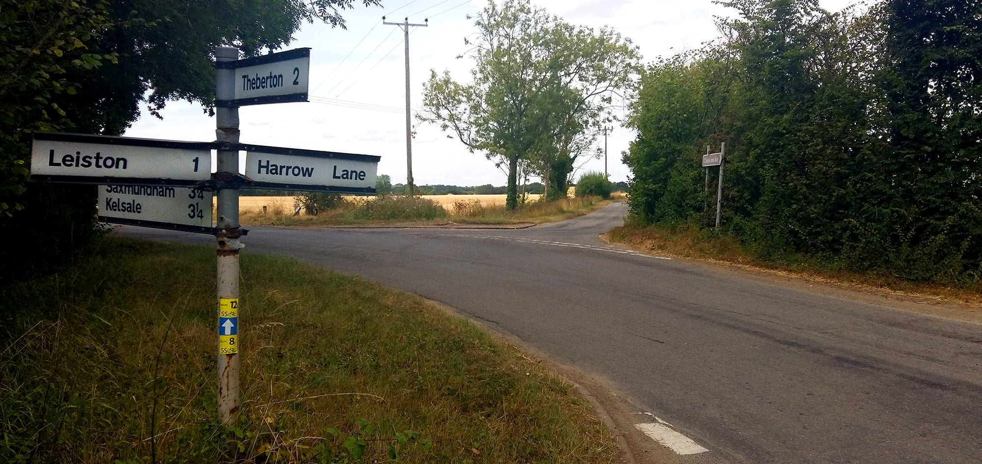
For this article we will concentrate on several landmarks that are referenced on the north west side of the manor boundary. These are named as The Harrow at Van’s Meadow, The Higbones, Hornes Grove, The Procession Rayles and Hangmans Close. All of these names have long since disappeared from both maps and local knowledge with only Harrow Lane bearing the slightest of references in the modern day landscape.
These same landmarks were the subject of an article by Robert Steerwood entitled Lost Features Of An Ancient Landscape [3] in which he attempts to establish a connection with the origins of the names, the landscape and pagan religious sites. He offers a well thought out argument to suggest that the area to the north west of the present town of Leiston was the location of an ancient site of pagan worship. In this article we hope to give an overview of his work and provide further investigation to build upon his reputable work.
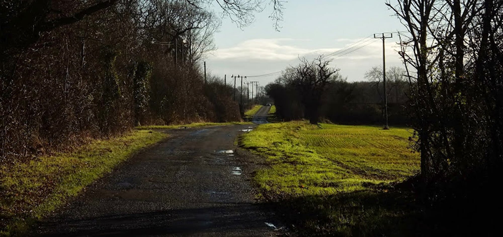
The modern day Harrow Lane is a straight road that leads from the north west side of Leiston, continuing for 1.25 miles in a north west direction towards East Green. This cuts across the high ground where the former Leiston WWII airfield was located and which, historically, was covered by Buxlow forest [4]. The 1620 perambulation certainly uses this lane as part of the manor boundary, although it does not reference it by name, merely stating:
“and at the end of that close turne up the lane south-east, and so along that lane between Higbones and ground of the demean called the Harrow at Van’s Meadow”
I has been postulated that East Green was the location of the Roman settlement known as Sitomagus although there is no firm agreement amongst scholars that this is the case [5]. If this was a Roman settlement, it is tempting to associate Harrow Lane as a Roman road due to its clear straight profile. This makes even more sense when we read Steerwoods argument that at the end of this there was a pre Christian place of worship.

The names of Higbones and Harrow at Van’s Meadow are thought to have been located somewhere around the Buckles Wood area where the crossroads are formed by Abbey Lane, Harrow Lane and Buckleswood Road. The word Harrow, in the context of this landscape may have been derived from the old English word hearge, which has the meaning of a temple, or more specifically a heathen temple [6]. Steerwood goes on to make the connection of the word Van to the pagan name of the Nordic Vanir deities. As Steerwood states, the area to the north of this was known as Tylers Green, common land that is known to have occupied a far larger extent before land enclosure and may have included the area under study here, a further connection that it may have been used as an area of common communion.
The perambulation continues:
“and from thence to east end of Horne’s Grove, and from that point going south-east westward Mr. Ginnees ground unto the procession rayles, and from those rayles going northward towards Hangman’s Close, along the shanks, unto a cornered close of Robt. Sharpes.”
This is not easy to follow, but with reference to the 19th century boundaries it would appear to tie in with the irregular line of the boundary which follows the lane alongside Buckles Wood, then leads across the land, cutting across modern field boundaries to continue on the north side of Geaters nurseries. Buckles Wood is known to be ancient woodland [7] but whether this was a continuation of Buxlow Forest or is part of the referenced Horne’s Grove is unclear. Steerwood places Horne’s Grove further to the east of the woodland and references the associations of its name with that of Freyja, the Norse goddess. The name Hornie also conjures up demonic associations, with Old Hornie being a much used name for the devil. A method of attack of pagan sites was to associate them with demonic entities which may have been the case here.
The name of Horne’s Grove has been long forgotten in local knowledge although I have come across an interesting snippet of information supplied to me by a local resident. Growing up in the 1960s, as a child he would often play around the Buckles Wood area and he remembers that his grandfather always gave him a stern warning never to stray beyond the wood towards Knodishall with the specific caution for any who thought of venturing further, ‘Beware, the horns’. Although no enlargement was ever made on what the horns were, it was enough to prevent a young lad from attempting to find out. Nonetheless, this may tie in with the old name of Hornes Grove from which the folklore may have been passed down the generations about its demonic associations. In addition the sand pit beyond Buckles Wood has been known in local folklore as the Witches Bowl although this may have been a generic term, since many of the local former marl pits appear to have similar names in local folklore.

The 19th century boundary turns towards the north at a point behind the present day Geater nurseries, the only location that it turns in this direction. This must therefore be the location of the procession rayles with Hangmans Close at the end where the route turns back to the south east and down to the present day Abbey Road. It is uncertain what constituted as procession rayles, but one would assume this was a guided walkway with wooden rails that led toward the site of execution, and which a procession would accompany the convicted person to their final moments on this earth. I can find no other references to such artefacts, and the only reference to rayles, or rails, being Church altar rails, many of which were destroyed in the puritan periods of English history, around the time of this survey. It is notable that despite questioning many folk who have lived in the area for generations, the idea of the town having gallows is something that is quite unknown to them.
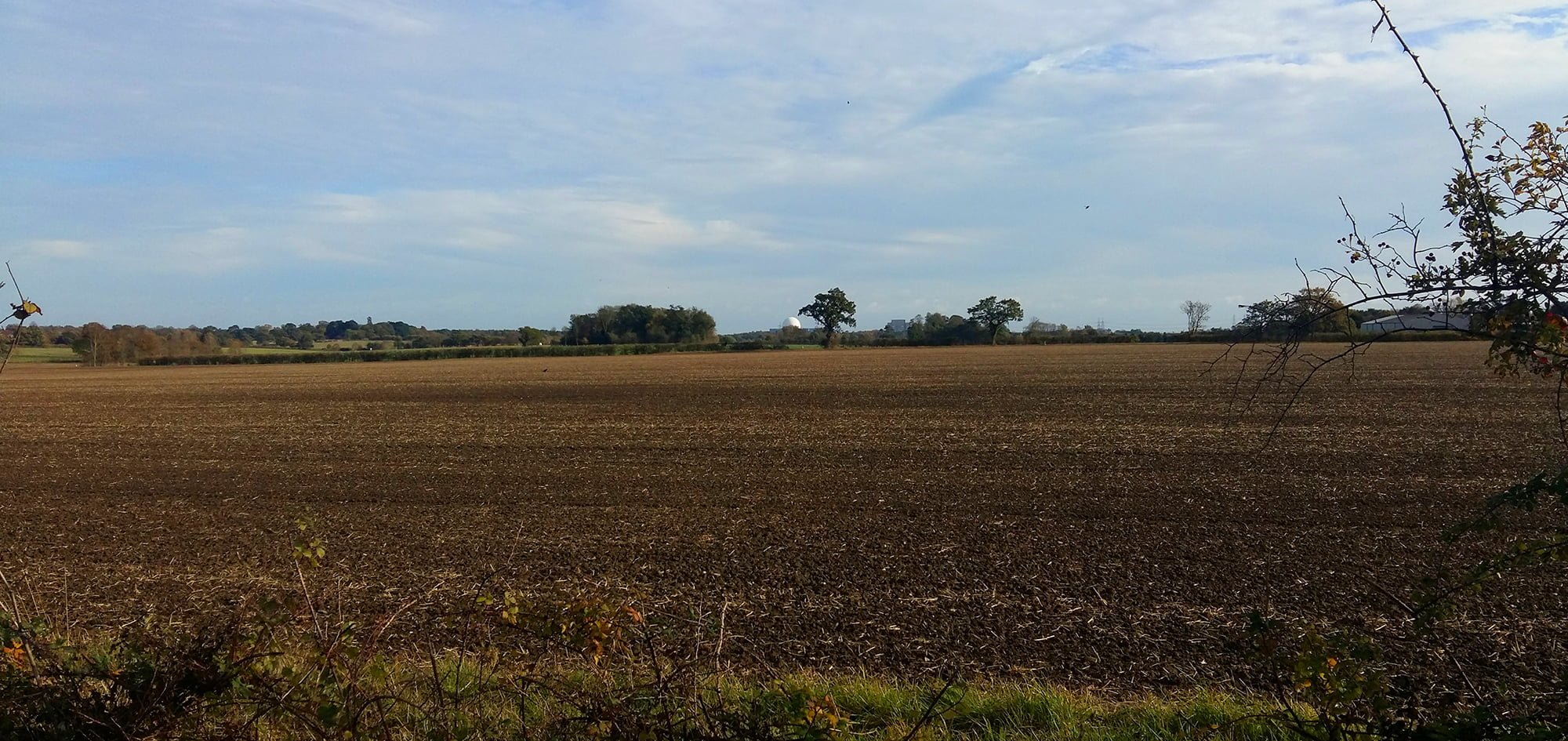
The precise location of where the gallows would have stood is difficult to determine in the modern landscape. The field boundaries behind Geaters nurseries have all been taken up and the area is just one vast field. However, if one takes the footpath on the eastern side of the nurseries and proceed north to where a boundary on the right leads down towards Abbey Road, then view a straight line that would continue westwards from this, running parallel to the rear of the nurseries, the gallows would have been somewhere around the end of the nurseries.
There are instances around the country that describe gallows that were erected on pagan ground, one instance in the Suffolk Coastal area is at Sutton Hoo [8], where there was said to have been a gallows located on Mound 5 of the Saxon burials. This also draws parallels between the likes of Sutton Hoo, or even Snape, which are located at the head of a river valley where Saxon burials have been found, and Steerwood alludes to this significance at Leiston where he postulates that crop marks above the valley may be Bronze Age burial mounds that sat above the Sizewell River estuary, although it is speculation that this was ever a river estuary. We will explore this next.
Without a doubt the location that Steerwood refers to is at the head of a valley. In modern times this landscape makes it difficult to visualize unless one studies the contours on an OS map. The valley goes from the Abbey Road area and follows a ditch and stream which flows through to Sizewell Belts. There is good reason to postulate that during medieval times and earlier a significant water course may have flowed from the head of this valley, through to Sizewell belts and onto an outfall to sea at Minsmere Haven, the traditional outlet to the Minsmere river.
To support this postulation, archaeological digs at Sizewell, on the edge of the belts, have revealed one of the principle foodstuffs was fresh water fish, the evidence being the numerous fish bones dating from the medieval period [9]. This would imply that a fresh water course was the main source of nourishment and with this location being well over half a mile from its outfall to the sea then, according to local rod fishermen, freshwater fish can survive in semi saline waters of estuaries.
There are records that a harbour was established at the site of the old Leiston Abbey on the Minsmere marshes from which the Abbott took tolls for the mooring of ships [10]. It was in the 1360’s when, due to flooding across the marshes that undermined the abbey foundations, the decision was taken to move the Abbey to higher ground. This accompanies a period of higher sea levels and a series of storms, with much erosion along the coast including the loss of Dunwich [11]. There is no indication why the location to the north of Leiston was chosen to re-establish the Abbey, but we know that the whole Abbey was dismantled and moved from the marshes up to Leiston. Considering the land on which it stood at Minsmere was described as an island in the marshes, albeit connected to Eastbridge via a causeway, then transportation of building materials would have been prohibitive across such a landscape. The obvious choice would have been a water course to ship the building materials between the two locations. This makes a lot of sense if there was a navigable river that led to the foot of the hill on which the Abbey was rebuilt, and this may even have been why the location to the north of Leiston was chosen, as it was high ground accessible to the transportation of the stone.
Another intriguing artefact of the landscape is the parish boundary beyond the gallows, which is described in the perambulation, and appears to match the boundary in the 19th century. This is a curious tongue of land assigned to Theberton parish that intrudes into Leiston parish. This strip of land crosses Abbey road and continues for some 700 yards up the valley. When this is married up against the contours of the land, and against satellite images, it is plainly obvious that it follows the southern side of the valley; it follows what may well have been the Sizewell river. This now makes sense as it would have granted the folk of Theberton a port or harbour side that had access to the sea. Could it be that this was an inland port, made use of up until medieval times when the river silted up following the changes in coastline due to the increased sea levels and erosion? Theberton would have access to the south side of the river and Leiston to the north. Although on the face of it, this appears contrary to logical thought as modern town of Leiston is located to the south, there is ample reason to support such an idea in addition to the location of the Abbey.
There is certainly evidence supportive of settlement around this area with many Roman and medieval artefacts having been discovered on the land between what would have been the head of the river and the landmarks of Higbones and Harrow at Van’s Meadow, including a Roman pottery kiln [12]. There is also evidence of medieval ditches and both Roman and medieval artefacts in the land between the abbey and the river head [13][14][15].
Could we propose that medieval Leiston was not around the location of the modern town, but in the area just south of the Abbey. This was a settlement that existed around the head of a river estuary and was established at least during Roman times and survived until the medieval period when the river silted up. The post medieval town of Leiston grew up in a second valley around what is now Valley Road, and later firmly establishing itself with the expansion of Garretts business. This may well be a controversial statement and without further research is only speculation but nonetheless an intriguing thought. There is no documented evidence thus far found to establish a river connection with either Leiston or Theberton, but the ideas put forward here appear to be a logical connection between the two sites of Leiston Abbey and the evidence of archeological finds in the area. This idea does warrant further investigation and research.
References
- Suckling, A. (n.d.). The history and antiquities of the county of Suffolk: with genealogical and architectural notices of its several towns and villages : Suckling, Alfred Inigo, 1796-1856. [online] Internet Archive. Available at: https://archive.org/details/historyantiquiti02suck
- nls.uk. (n.d.). OS map of England (1888-1913). [online] Available at: https://maps.nls.uk/geo/explore/#zoom=16&lat=52.21162&lon=1.57089&layers=171
- Steerwood, R. (2008). LOST FEATURES OF AN ANCIENT LANDSCAPE. [online] Suffolkinstitute.pdfsrv.co.uk. Available at: http://suffolkinstitute.pdfsrv.co.uk/customers/Suffolk%20Institute/2014/01/10/Volume%20XLI%20Part%204%20(2008)_Lost%20features%20of%20an%20ancient%20landscape%20R%20Steerwood_481%20to%20487.pdf
- suffolk.gov.uk. (n.d.). Buxlow Forest (1783); The Forest; Whin Cover – Suffolk Heritage Explorer. [online] Available at: https://heritage.suffolk.gov.uk/hbsmr-web/record.aspx?UID=MSF22765-Buxlow-Forest-(1783)-The-Forest-Whin-Cover
- Steerwood, R. (2014). A CONTEXT FOR SITOMAGUS: ROMANO-BRITISH SETTLEMENT IN THE SUFFOLK MID-COASTAL AREA. [online] Suffolkinstitute.pdfsrv.co.uk. Available at: http://suffolkinstitute.pdfsrv.co.uk/customers/Suffolk%20Institute/2014/01/10/Volume%20XL%20Part%203%20(2003)_A%20context%20for%20sitomagus%20Romano-British%20selltement%20in%20the%20Suffolk%20mid-coastal%20area%20Robert%20Steerwood_253%20to%20261.pdf
- eu. (n.d.). Heathen and mythological elements in English place-names. [online] Available at: http://germanic.eu/Heathen-and-mythological-elements-in-English-place-names.htm [Accessed 14 Dec. 2019].
- suffolk.gov.uk. (n.d.). Buckles Wood – Suffolk Heritage Explorer. [online] Available at: https://heritage.suffolk.gov.uk/hbsmr-web/record.aspx?UID=MSF16190-Buckles%20Wood
- National Trust. (n.d.). History of archaeology at Sutton Hoo. [online] Available at: https://www.nationaltrust.org.uk/sutton-hoo/features/history-of-archaeology-at-sutton-hoo
- Gill, D., Cass, S. and Craven, J. (2013).GREATER GABBARD WIND FARM ONSHORE WORKS, SIZEWELL WENTS, LEISTON. [online] Grey-lit-suffolkarchaeology.s3.amazonaws.com. Available at: http://grey-lit-suffolkarchaeology.s3.amazonaws.com/2012_007.pdf
- Leiston Abbey – Digital Dig Team. (2019). The Old Abbey at RSPB Minsmere | Leiston Abbey. [online] Available at: https://digventures.com/leiston-abbey/background/the-old-abbey/
- ac.uk. (n.d.). Margins of the East Fen: Historic Landscape Evolution : Appendix 2.1.A Weather, Climate, Sea-Level and Floods in Medieval Times – Durham University. [online] Available at: https://www.dur.ac.uk/east-lincs-history/investigations/the-saxon-shore-the-vikings-and-domesday-book/appendix-2.1.a/
- MARTIN, E., PENDLETON, C. and PLOUVIEZ, J. (2004). ARCHAEOLOGY IN SUFFOLK 2004. [online] Suffolkinstitute.pdfsrv.co.uk. Available at: http://suffolkinstitute.pdfsrv.co.uk/customers/Suffolk%20Institute/2014/01/10/Volume%20XLI%20Part%201%20(2005)_Archaeology%20in%20Suffolk%202004%20E%20Martin%20C%20Pendleton%20J%20Plouviez_103%20to%20136.pdf
- suffolk.gov.uk. (n.d.). Abbey Road – Suffolk Heritage Explorer. [online] Available at: https://heritage.suffolk.gov.uk/hbsmr-web/record.aspx?UID=MSF11525-Abbey%20Road .
- suffolk.gov.uk. (n.d.). Medieval ditches, Abbey View Lodges, Leiston. [online] Available at: https://heritage.suffolk.gov.uk/hbsmr-web/record.aspx?UID=MSF35810-Medieval%20ditches%2C%20Abbey%20View%20Lodges%2C%20Leiston
- suffolk.gov.uk. (n.d.). Roman artefact scatter of 2 bronze sestertii coins. [online] Available at: https://heritage.suffolk.gov.uk/hbsmr-web/record.aspx?UID=MSF11527-Roman%20artefact%20scatter%20of%202%20bronze%20sestertii%20coins
Further Reading and References
- com. (2019). Sheets 35-36. (Cary’s England, Wales, and Scotland). – David Rumsey Historical Map Collection. [online] Available at: https://www.davidrumsey.com/luna/servlet/detail/RUMSEY~8~1~36986~1210049:Sheets-35-36—Cary-s-England,-Wale;JSESSIONID=2733f785-f575-475f-a64d-9cd5f2ceba04?showTip=false&showTipAdvancedSearch=false&title=Search+Results%3A+List_No+equal+to+%270132.022%27&thumbnailViewUrlKey=link.view.search.url&helpUrl=http%3A%2F%2Fdoc.lunaimaging.com%2Fdisplay%2FV71D%2FLUNA%2BViewer%23LUNAViewer-LUNAViewer&fullTextSearchChecked=&advancedSearchUrl=http%3A%2F%2Fdoc.lunaimaging.com%2Fdisplay%2FV71D%2FSearching%23Searching-Searching.
- Doughty, H. (2019). Chronicles of Theberton, a Suffolk village. [online] Internet Archive. Available at: https://archive.org/details/chroniclesoftheb00dougiala.
- com. (2019). GREATER GABBARD OFFSHORE WIND FARM EXTENSION PROJECT SUFFOLK Archaeological Desk-based Assessment. [online] Available at: http://www.galloperwindfarm.com/assets/images/documents/GWF%20Environmental%20Statement/ES_Appendices_Technical_Appendix_4_Part_2.pdf.
- suffolk.gov.uk. (2019). Suffolk Heritage Explorer. [online] Available at: https://heritage.suffolk.gov.uk/map?scale=50000&lat=6843599&lon=80770 .
- May, D. and May, K. (2001). From Flint Knappers to Atom Splitters: A History of Leiston-cum-Sizewell. Quickthorn Books.
- org.uk. (n.d.). Ordnance Survey Unions, Eye, Dunwich. [online] Available at: http://visionofbritain.org.uk/iipmooviewer/iipmooviewer_new.html?map=os_unions_1803_1838_se/Eye_Dunwich_1803_1838.
