Decoding the linear landscape

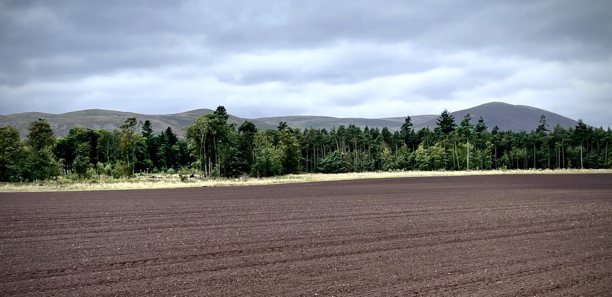
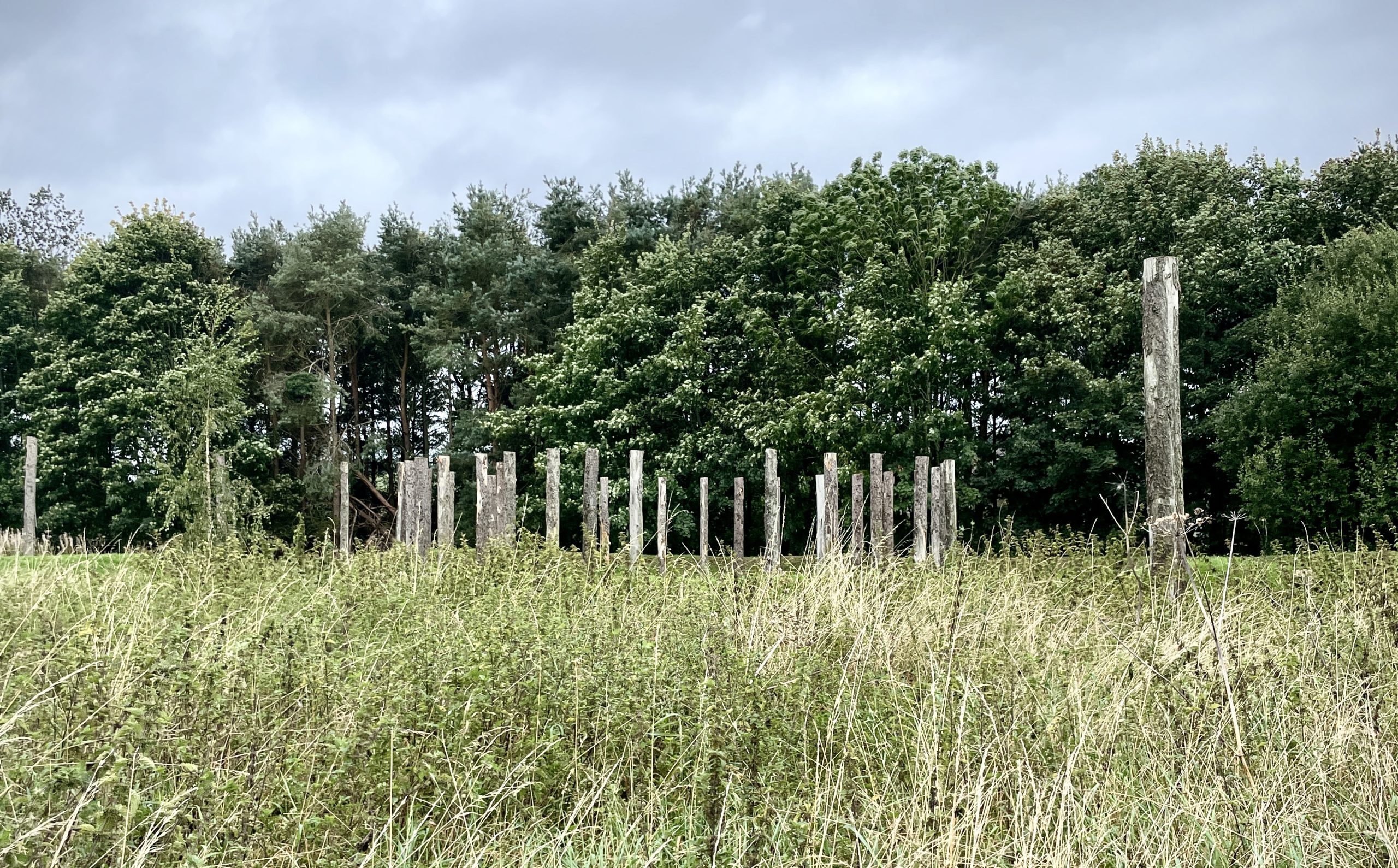
We’re just back from a wonderful windswept trip to Maelmin Henge and the wider ritual landscape of the surrounding Millfield Basin, Northumberland.
Our focus has been on the longest known ‘pit alignment’ in the country, referred to as Ewart 1, at over 1 kilometre in length. [1] These bafflingly mysterious monuments include a series of deep circular or oval dug pits, and at Ewart 1 each are up to 2 metres wide and set out across the landscape in a linear single line, and sometimes in parallel rows of 2 lines of pits, such as those close by at Millfield North.
Did they mark boundaries across the landscape, some pit alignments held posts, whilst many did not, were they designed to connect ceremonial monuments as part of a ritual complex sighting other prominent locations, did they aid livestock control or were they repositories for votive deposits?
Bizarrely, as in the case of the Ewart 1, the pits were all dug at the same time and were not backfilled, with the same soil excavated by the maker some 4,000 years ago. [2]

These ritual features across the landscape became a palimpsest for subsequent peoples to reuse and repurpose with evidence for continuous reworking and recreation of pit alignments up until the Romano-British period, 100 A.D. [3]
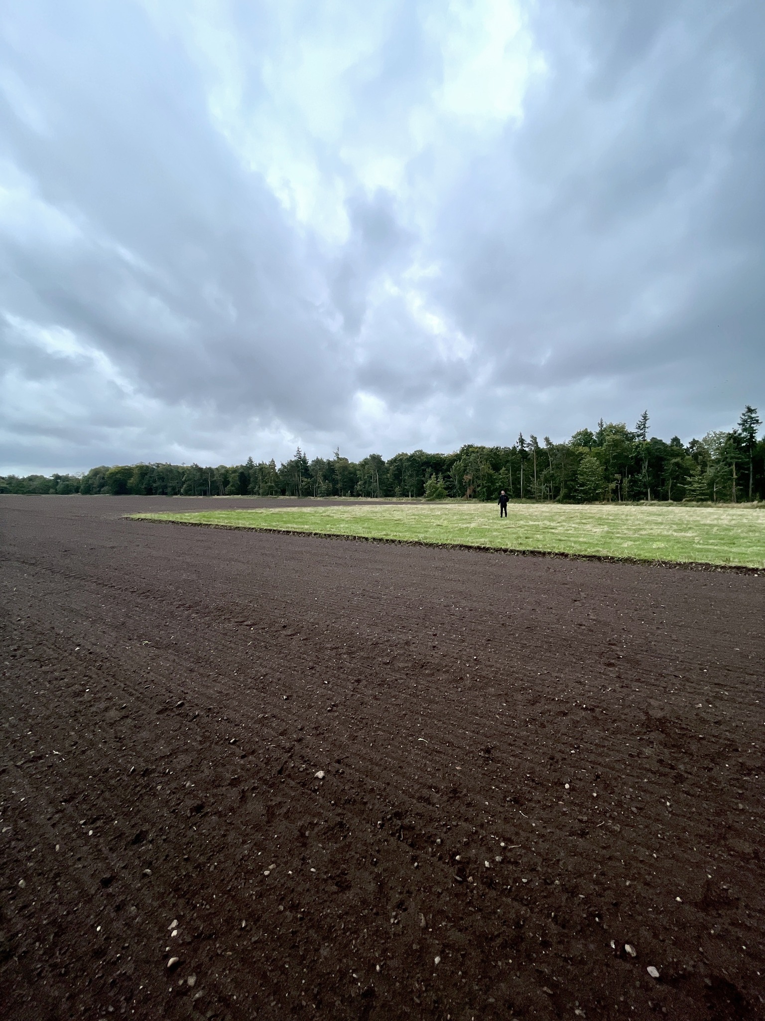
Ewart 1 had a henge near its terminus, similar in form to Maelmin Henge and is delineated by the green grass square in the field.
This field trip was in support of our ongoing investigations into the Black Ditches at Risby and Cavenham in Suffolk, but more on that in the coming months.

References
1 & 2. Waddington (1997)
3. Whitehouse (1961)
